Topographic Diagram
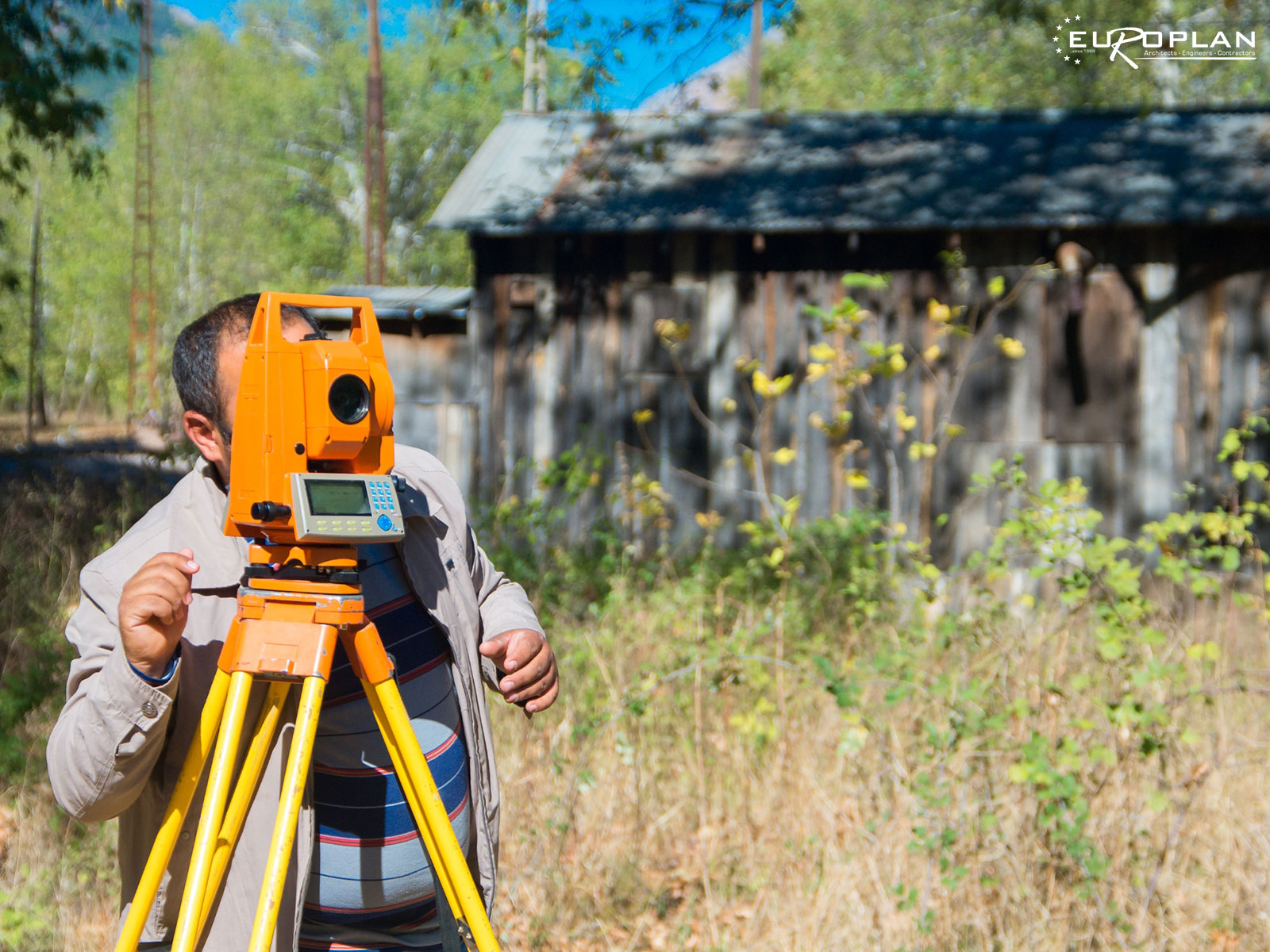
Using modern methods for the topographic mapping of tour property in addition with the experience of our Topographers, we can precisely deliver any topographic mapping requested. Browse our projects page
What is a topographic diagram?
A topographic plan is a comprehensive land survey stating the surface area of the plot, its dimensions, whether it is build-able or not, the square meters that the owner can build, whether there are buildings within the plot, as well as the plot’s exact location. It is therefore the official document delimiting a property.
Using modern equipment for the topographical mapping of your property as well as the experience of our Surveyors, we can accurately cope with any topographical mapping requested of us.
When is a topographic diagram needed in Greece?
• Characterization Act from the Forestry Department
• Building Permits
• Real Estate
• Partition Parcel
• Diagram of Geometric changes in the National Cadastre
• Objections to Forest Maps, acquisition or use of forest lands for agricultural exploitation
• Definition of Beach and Coast lines
• Environmental Permits
• Vertical and Horizontal Property Constitution
• Regulation of Unauthorized Construction

What does a topographic diagram contain in Greece?
• Property Coordinates and Range
The minimum information that a topographical diagram must contain is the boundaries of the property and its location in space. Today, topographical charts are drawn up in the EGSA ’87 coordinate system, enabling direct location of the property on the map.
• Placement
The property is placed administratively, i.e. it is located in terms of the Kallikratiko Municipality, the Municipal Unit and the Local Community to which it belongs. Army Geographical Service 1/5000 extract required for off-plan properties or zoning plan extract for on-plan properties.
• Building Conditions and Land Uses
An urban planning survey is carried out, the applicable building conditions and permitted land uses are listed, according to ZOE (Residential Control Zones) / SCHOOAP (Open City Spatial and Residential Organization Plans) / GIS (General Urban Planning Plans)
• Titles Research
The time of creation of the plot, i.e. the year in which it appeared for the first time in its current form/extent is crucial for the determination of the applicable building conditions and therefore of the adequacy and buildability.
• Investigation of Special Conditions
The crossing of streams, the crossing of PPC overhead lines, the crossing of underground pipelines (eg natural gas) and the forest information of the area must be listed and described.
• Special Protection Areas
Especially for the properties within the plan, the involvement with special protection zones such as NATURA, RAMSAR, Wildlife Refuges, etc., is investigated, where any interaction poses significant limitations in terms of their utilization.
• Forest Information
The forest status of the property is investigated and recorded in a relevant declaration. For the use of the survey in issuing permits and elsewhere, the number and type of trees within the property must also be recorded.
• Upcoming imprint
Exact mapping of buildings, any type of construction, retaining walls, constructions shaping the surrounding area and, in general, everything that is included within the boundaries of the property.
• Declaration of fitness and buildability (Decleration of Law 651/1977)
Perhaps the most important element of the topographical diagram, which determines the value of the property, since it confirms its BUILDABILITY.
• Declaration L. 1337/1983
It concerns the obligations of the property in levy and land, according to the current urban planning regime.


Contact Form
Do not hesitate to contact us for an offer or any information regarding the design of a topographic plan in Creta island.
Our customers review
My collaboration with the technical company Europlan lasts for years because they have proven to me their ability to create homes that stand out while at the same time their specialization in luxury holiday homes is known, both in terms of design and construction. Personally for me it is very important to have partners whose work adds value to the money which - anyway - you have to invest.
By GEORGE GEORGEThe quality of the construction absolutely met our standards and expectations. We have a second plot in Elounda and when the time comes to build, we will definitely work with Europlan again.
By JOHN JOHNAs the owner of three villas in the area of Plaka, I highly recommend the technical company Europlan for the execution of design and construction of any technical project.
By MICHAEL MICHAEL